Štitáre
Štitáre (Hungarian: Alsócsitár) is a village and municipality in the Nitra District in western central Slovakia, in the Nitra Region.[1]
Geography
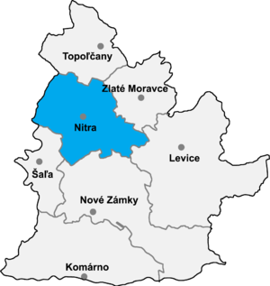
The village lies at an altitude of about 240 metres and covers an area of 7.494 km2. In 2016 it had a population of 872 people.[2] It lies 7 km north-east to the historic city of Nitra. It is surrounded by Zobor mountain range in the north and agricultural fields in the south.
References
External links
- Official Site
- v
- t
- e
Municipalities of Nitra District
- Nitra
- Vráble
- Alekšince
- Báb
- Babindol
- Bádice
- Branč
- Cabaj-Čápor
- Čab
- Čakajovce
- Čechynce
- Čeľadice
- Čifáre
- Dolné Lefantovce
- Dolné Obdokovce
- Golianovo
- Horné Lefantovce
- Hosťová
- Hruboňovo
- Ivanka pri Nitre
- Jarok
- Jelenec
- Jelšovce
- Kapince
- Klasov
- Kolíňany
- Lehota
- Lúčnica nad Žitavou
- Lukáčovce
- Lužianky
- Ľudovítová
- Malé Chyndice
- Malé Zálužie
- Malý Cetín
- Malý Lapáš
- Melek
- Mojmírovce
- Nitrianske Hrnčiarovce
- Nová Ves nad Žitavou
- Nové Sady
- Paňa
- Podhorany
- Pohranice
- Poľný Kesov
- Rišňovce
- Rumanová
- Svätoplukovo
- Štefanovičová
- Štitáre
- Šurianky
- Tajná
- Telince
- Veľká Dolina
- Veľké Chyndice
- Veľké Zálužie
- Veľký Cetín
- Veľký Lapáš
- Vinodol
- Výčapy-Opatovce
- Zbehy
- Žirany
- Žitavce

48°21′00″N 18°09′30″E / 48.35000°N 18.15833°E / 48.35000; 18.15833
 | This Nitra Region geography article is a stub. You can help Wikipedia by expanding it. |
- v
- t
- e


